n00bzunit3d 2024 forensics/plane
Welcome to my series of writeups for n00bzunit3d 2024 capture-the-flag competition. In this post, we look at the forensics/plane challenge. We are given a plane.jpg and the flag is the coordinates of where this photo was taken rounded to 2 decimal places.
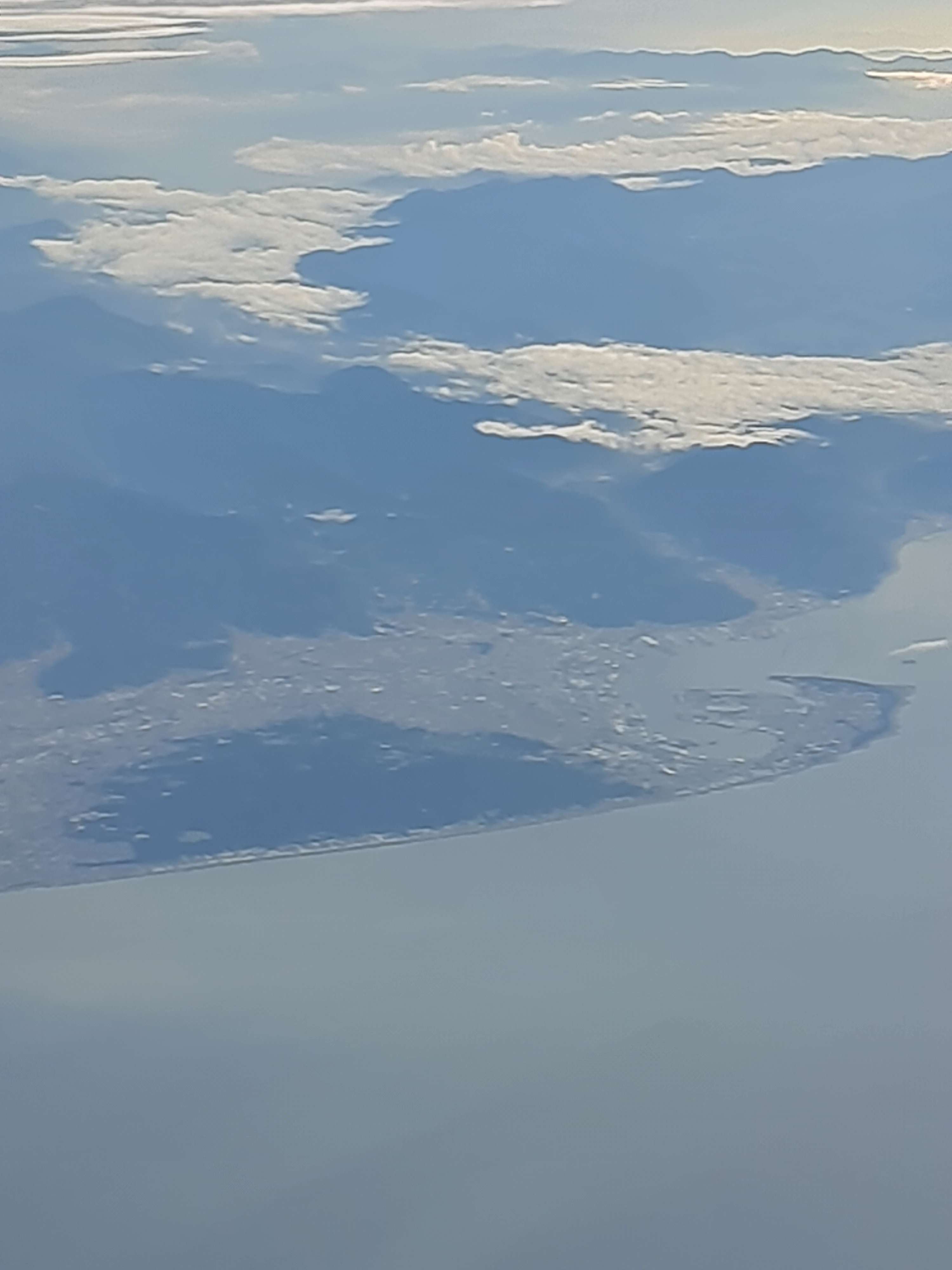
This information can be easily retrieved from the EXIF information of the photo. You can any number of ways to view that information. We opened the file in geocords and easily got the latitude and longitude.